My Maps – Collaborative map making
Google Maps contains a feature called My Maps which allows you and your students to mark places of interest on a map along with an accompanying photo, video, description, and link to another website. You can access this set of tools by visiting Google.com/MyMaps
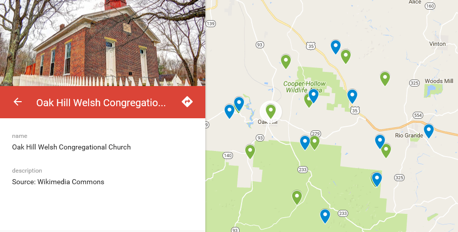
I created a map of Welsh Settlements* which you can view here (the churches include photos):
I found My Maps to be fairly straightforward with enough features to develop an interactive presentation. The best part about My Maps is you can add students as editors to the map using an interface that looks much like the one found in Google Docs.
If you find that My Maps does not meet your needs storymap.knightlab.com is a far most robust tool.
Categories: Classroom Tools, Google, Software